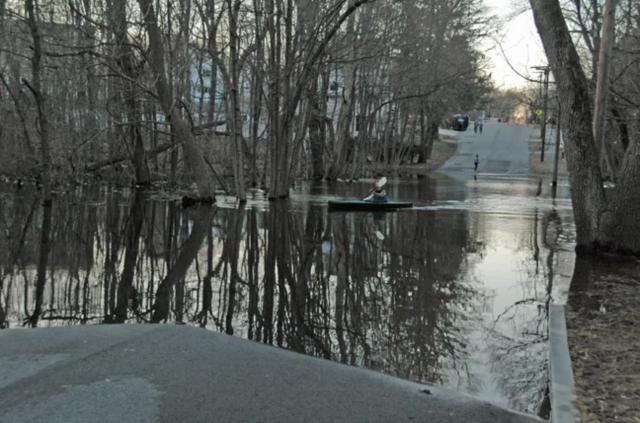
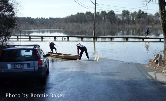
The Flood of 1968 and 2010
From March 17th to March 19th, Eastern Massachusetts experienced significant rainfall, causing the SuAsCo Rivers to flood. Many properties on flood plains were impacted, resulting in $28 million in property damage. The U.S. Geological Survey (USGS) documented the flood in this report, "Flood of March 1968 on the Sudbury, Assabet, and Concord Rivers, Massachusetts." Check out the maps produced here and here.
Their report also references a handful of major floods that occurred prior to 1968, including the August 1955 flooding due to Hurricane Diane (Flood Insurance Study, pg. 23), which remains one of the worst floods to this day. Flooding on the SuAsCo Rivers dates even further back to the 1700s, specifically upstream of the Talbot Mills Dam in North Billerica. The floods were detrimental to Concord and Wayland farmers residing upstream and they fought hard for the dam to be torn down (only for it to be rebuilt, torn down, and rebuilt again). If you are interested in learning more about the 1968 flood and other floods, we encourage you to check out this talk about flooding on the Sudbury River posted on the Wayland Historical Society website. Their is also a talk specifically about the history of flooding in Wayland, with photographs of major floods.
In 1968, the USGS warned that "floods will recur many times in the future." And 42 years later, heavy periods of rain in late winter into early spring of 2010 delivered possibly even worse flooding to the SuAsCo Rivers. As documented in the USGS report, a presidential disaster was declared in cities and towns across Eastern and Central Massachusetts on March 29th, 2010. The water rose to nearly the Route 225 Bridge over the Concord River, reminiscent of 1968. Climate change will only bring greater precipitation and intense storms, which means that flooding remains a serious threat.
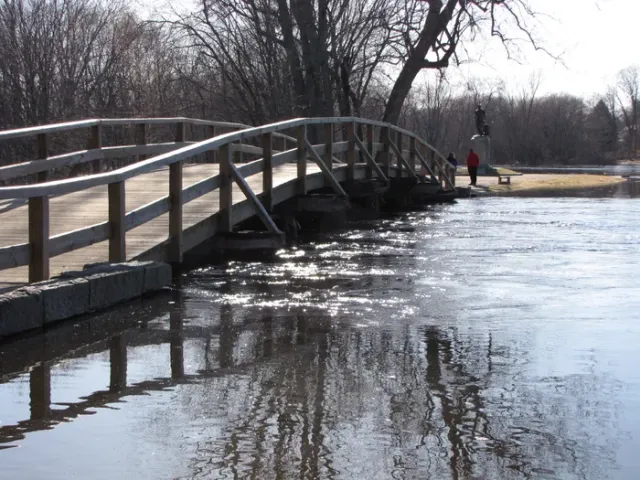
Therefore, it is important to protect flood plains. Chapter 131, Section 40A of the Acts of 1968, describes how "encroachment lines" were instituted to prevent developments from being added to certain areas without permission, as they not only disrupt wetland habitat, but can be a safety hazard during flooding (Flood Insurance Study, pg. 24). It is also important to consider how human-made structures, such as bridges, can worsen flooding. The 2010 USGS report illustrated that the Route 225 Bridge over the Concord River (connecting Bedford to Carlisle) caused 0.11 feet of head loss. In other words, the water level upstream of the bridge was around 1 and 3/8ths of an inch higher than downstream. Similarly, while some dams are designed to control flooding, removal of the Talbot Mills Dam—a dam that was not built to control floods—would return this section of the Concord River to a free-flowing state. We've argued that removing the dam will decrease flooding on the Concord and Sudbury Rivers by increasing drainage. Our Dam Removal page explains several other ecological benefits of removing this dam.